

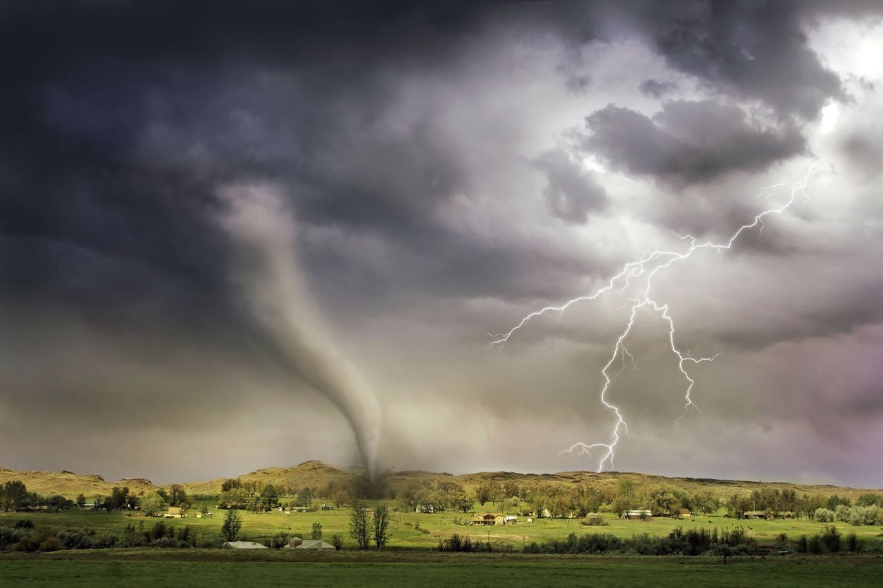
Another round of active summer weather is unfolding across the central and eastern U.S. This time, the focus is on the Upper Midwest, where forecasters have outlined an elevated threat for severe thunderstorms capable of producing large hail, strong wind gusts and a few tornadoes.
Storm Prediction Center highlights Wisconsin and nearby states
The National Weather Service’s Storm Prediction Center issued a Level 3 of 5 severe weather risk, classified as an Enhanced Risk, for parts of the Upper Midwest on Sunday, July 26, 2026. According to the SPC’s Day 1 Convective Outlook, the higher-risk area includes most of Wisconsin along with far eastern Minnesota and parts of Upper Michigan, where severe storms are expected to develop mainly during the afternoon and evening.
The outlook said thunderstorms in that corridor could produce large to very large hail, damaging winds that may exceed 75 mph in some areas, and a tornado risk. FOX Weather reported the same setup would be driven by a hot and very moist air mass already in place across the region, creating the kind of instability that can support intense storm development if storms are able to form.
Forecasters also noted uncertainty in the timing and exact coverage of storms because a strong atmospheric cap could suppress development for much of the day. Even so, the SPC said that if storms break through that cap, they would move into an environment favorable for significant severe weather, including isolated tornadoes and destructive wind damage.
The highest-risk zone is centered on Wisconsin, with the corridor extending into a small portion of eastern Minnesota and the Upper Peninsula of Michigan. FOX Weather identified Milwaukee, Green Bay, Duluth and La Crosse as among the larger cities in or near the threat area, though the exact communities that would see the strongest storms were not confirmed when the outlook was issued.
What is confirmed is that the most serious hazards in the Level 3 area include hail large enough to damage vehicles and roofs, wind gusts capable of downing trees and power lines, and isolated tornadoes. The SPC’s outlook specifically highlighted Wisconsin and nearby areas for the combination of hail, damaging winds and tornado potential, while a broader Level 2 of 5 risk stretched across a wider part of the Midwest and Great Lakes.
What remains less certain is where individual supercells or storm lines would form first and whether storms would remain isolated or organize into clusters. That uncertainty matters for local impacts because a more discrete storm mode can raise the hail and tornado threat, while a more organized line of storms can shift the primary concern toward widespread wind damage.
Meteorologists have tied this risk to a broader weather pattern that has kept July unusually active across the Midwest and Northeast. According to FOX Weather, the storm threat is being driven by an active corridor along the eastern edge of a strengthening heat dome, where repeated disturbances have been tracking through very warm, moisture-rich air.
The SPC said an upper ridge remains anchored across the Southwest into the central Rockies and High Plains, while a disturbance moving through the Upper Midwest and Great Lakes provides the lift needed for thunderstorms. That combination of heat, humidity and stronger winds aloft is a classic severe-weather setup, allowing storms that form to organize quickly and intensify.
For residents, the practical takeaway is that storm hazards may develop rapidly Sunday afternoon and continue into the evening, with large hail, damaging straight-line winds and isolated tornadoes all possible in the hardest-hit areas. Forecasters have also indicated the severe threat will not end there, with the storm corridor expected to shift east into the Great Lakes and eventually the Northeast and Mid-Atlantic as the new week begins.