

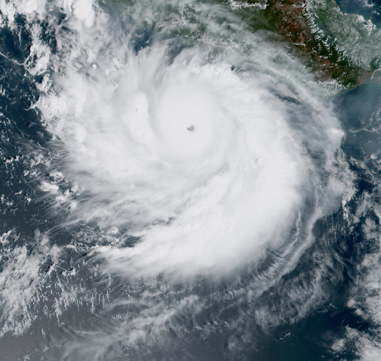
Former Hurricane Polo’s leftover moisture is moving toward Iowa after the storm made two landfalls in Mexico and then weakened over rough terrain, according to the National Hurricane Center and National Weather Service. By early Wednesday, a flood watch was in effect across much of central Iowa, where forecasters warned that several rounds of rain could raise the risk of flooding through Thursday night.
The setup reaches far beyond the state. The National Hurricane Center said Polo crossed Baja California Sur, moved over the Gulf of California, then made another landfall near Guaymas in Sonora on Tuesday morning before dissipating inland. Even after the circulation fell apart, forecasters said the storm’s remnant moisture and energy would keep moving northeast into the United States.
Polo weakened in Mexico, but its moisture kept moving
The National Hurricane Center said in a forecast discussion issued at 8 a.m. MST Tuesday, Sept. 29, that Polo was over the Gulf of California with winds near 65 knots and was expected to make landfall near Guaymas within hours before crossing northwestern Mexico and dissipating. The same discussion said Polo’s “remnant vorticity” would continue moving northeast and interact with a mid-latitude trough over the Four Corners region on Tuesday night and Wednesday.
That forecast tied the tropical system directly to heavy rain concerns in the United States. The hurricane center said the interaction would contribute to heavy rainfall, flash flooding and gusty winds in the Southwest and southern Plains. It also said moisture from Polo would support heavy rainfall and flooding potential across the Southwest U.S. into the Southern High Plains from Tuesday into early Wednesday.
Associated Press reporting from Tuesday night described the broader fallout already unfolding to the west. The wire service reported that Polo struck Baja California Sur on Tuesday morning with maximum sustained winds of 110 mph, then crossed the Gulf of California and weakened as it moved inland to the northeast. AP also reported that the flood risk was expected to shift into parts of the central United States later in the week.
That next phase includes Iowa. A flood watch issued by the National Weather Service office in Des Moines at 1:42 a.m. CDT Wednesday, Sept. 30, covers a broad stretch of central Iowa through 1 a.m. CDT Friday, Oct. 2. In a hazardous weather outlook issued Tuesday afternoon, the same office said a flood watch was in effect Tuesday night and would continue through Thursday night for central Iowa.
Eastern Iowa is also expected to turn wetter. In an area forecast discussion issued at 2:03 p.m. CDT Tuesday, the National Weather Service in the Quad Cities said a prolonged wet period would continue through late week with three rounds of heavy rain. The office said rain would develop Tuesday night, become widespread by sunrise Wednesday and bring rises on area rivers.
What is confirmed locally is a growing flood threat, not a precise rainfall total for every community. The Quad Cities office said the probability of a flood watch being needed at some point over the next 72 hours was about 30 percent for its area as of Tuesday afternoon. It also said confidence was very high, above 90 percent, for widespread heavy rain from Wednesday night through Friday.
The Weather Prediction Center said in its Day 2 excessive rainfall outlook, issued at 4:19 a.m. EDT Tuesday, that moderate risks of excessive rainfall were in place across parts of the central and southern High Plains and southern Plains for the period from Wednesday morning through Thursday morning. Earlier center guidance also pointed to the remnants of Hurricane Polo making their way out of Mexico and helping focus heavy rain from Nebraska into Iowa.
That matters because Iowa is not dealing with a one-shot storm. The Quad Cities forecast office said the concern is the long duration of rainfall, with multiple rounds expected through late week. In that setup, rivers can rise even if any one round of rain is not extreme on its own.
For residents, the immediate timeline is straightforward. Central Iowa’s flood watch runs into early Friday, and eastern Iowa forecasters expect conditions to worsen after overnight moisture arrives and then stay unsettled through late week. As of early Wednesday, the most concrete message from the National Weather Service was that the state should be prepared for repeated periods of rain, rising water and the possibility of flooding through at least Thursday night.