

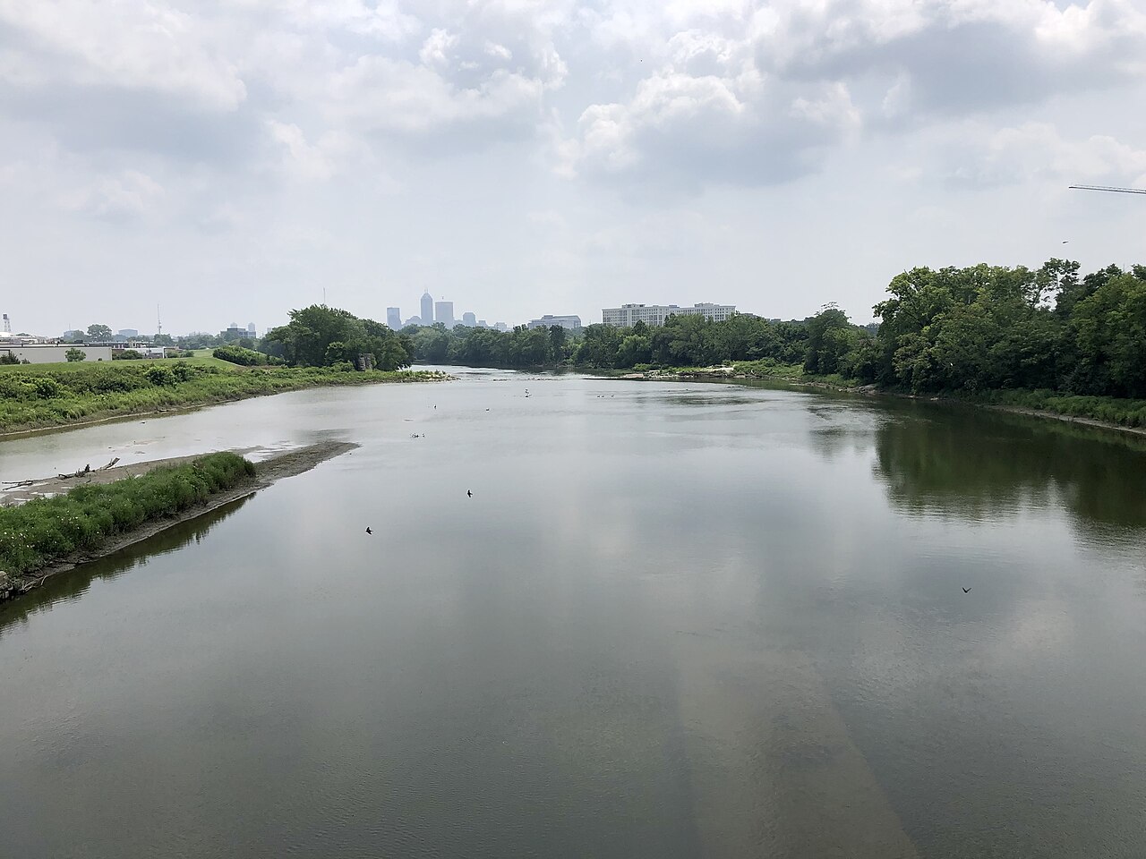
Severe weather has brought repeated flooding, wind damage and power outages across the Midwest in recent days, with several states dealing with swollen rivers and saturated ground. In Indiana, the White River rose above flood levels associated with the state’s historic 1913 disaster, pushing water into communities north of Indianapolis and straining rescue operations through the weekend. As of Sunday, August 16, at least seven deaths in Indiana had been tied to the broader storm system, according to the Associated Press.
White River tops a century-old benchmark
The White River set new flood benchmarks in Anderson and Noblesville after days of heavy rain, cresting above 24 feet in both communities and surpassing records that had stood since 1913, according to the National Weather Service figures reported by the Associated Press. AP reported Sunday that the river exceeded the old marks after more than 11 inches of rain fell over two days in some parts of Indiana. That made this one of the most significant flood events in the corridor north of Indianapolis in more than a century.
The historical comparison carries unusual weight in Indiana because the March 1913 flood remains one of the state’s defining weather disasters. Purdue’s Midwestern Regional Climate Center says the 1913 flooding produced record impacts across multiple Indiana river communities, including White River towns that still use those crests as reference points. In Anderson, the center lists the 1913 crest at 23.6 feet at the Anderson Waterworks site, a benchmark that this week’s flood overtook.
The latest flooding developed as repeated rounds of thunderstorms tracked over the same areas, rapidly pushing runoff into creeks and the White River basin. AP said emergency crews carried out water rescues as neighborhoods and roadways flooded. By Sunday, some water levels had started to recede north of Indianapolis, but officials were still assessing the full extent of structural damage and displacement.
The most immediate local effects were concentrated in Madison and Hamilton counties, where Anderson and Noblesville saw the record crests, and in Marion County, where the White River’s rise affected Indianapolis later in the event, according to AP. National Guard vehicles were used in rescue operations in the Indianapolis area as the river approached its local crest Saturday evening, AP reported. Flooding also disrupted roads and left some residents cut off from normal travel routes.
What is confirmed is the scale of the rainfall, the record river heights in Anderson and Noblesville, and the statewide death toll linked to the storm system as of Sunday. What is not yet known is the complete property-loss total, the full number of homes or businesses damaged, or a comprehensive count of all local road and infrastructure impacts. State and local agencies had not released a full, statewide breakdown of affected properties by Sunday.
The Indiana Department of Homeland Security’s disaster information page shows the state has repeatedly used emergency declarations for severe weather and flooding events when local resources are overwhelmed. That provides context for the response now underway, but it does not yet amount to a public final accounting for this flood. In practical terms, residents in flood-prone parts of central Indiana should expect continued recovery work, changing road conditions and additional updates from river and weather forecasters as waters move downstream.
Forecasters and emergency officials have tied the flooding to repeated rounds of storms that trained over the same region, dropping extreme rainfall on already wet ground. The Associated Press, citing the National Weather Service, reported that some Indiana areas received more than 11 inches of rain in a two-day period. That combination of high rainfall rates and saturated soils is what turns heavy summer storms into major river flooding.
The broader weather setup has not been limited to Indiana. AP reported that severe storms in recent days also brought damage and power outages elsewhere in the Midwest, underscoring that the White River flooding is part of a larger regional pattern rather than an isolated local downpour. Because river flooding lags behind rainfall, impacts can continue even after the heaviest rain shifts away.
That is why the threat has not fully ended. AP reported that flash-flood warnings and watches remained in effect across parts of central Indiana on Saturday even as some northern waters began to fall, and the broader Midwest remained vulnerable to additional rounds of storms. For residents along the White River and connected waterways, the next phase is likely to be defined by river forecasts, cleanup assessments and whether new rainfall slows the recession of floodwaters.