

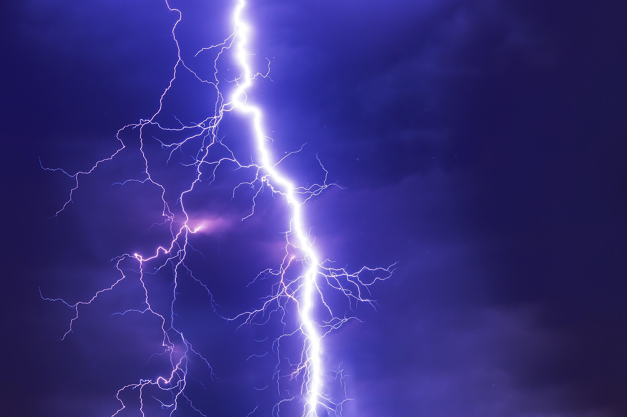
The Midwest is entering another punishing week of volatile weather. Forecasters are warning that the atmosphere is primed for dangerous storms that can turn severe with little margin for error.
Why This Week’s Midwest Storm Pattern Has Forecasters on Edge

Severe weather in the Midwest is not unusual in late spring, but this week’s pattern stands out because it combines nearly every ingredient meteorologists watch for when assessing high-impact storm risk. Recent outlooks from NOAA’s Storm Prediction Center have highlighted broad zones from the central Plains into the Upper Midwest for severe thunderstorms capable of producing tornadoes, destructive wind gusts, and very large hail. In mid-May, the agency elevated parts of Kansas and Nebraska to a Moderate Risk, and other outlooks stretched the severe threat from Oklahoma and Iowa into Minnesota and western Wisconsin. According to ABC News and The Weather Channel, this was part of a multi-day setup that put millions of people in the storm corridor and generated hundreds of severe weather reports over just a few days.
What makes this pattern especially dangerous is persistence. Instead of one isolated line of storms moving through and clearing out, forecasters have been tracking repeated rounds of convection tied to a powerful upper-level trough, a sharp frontal boundary, rich Gulf moisture, and strong wind shear. When those ingredients overlap, storms can organize quickly into supercells or bowing lines that are capable of producing multiple hazards at once. That means one county may face hail larger than golf balls in the afternoon, hurricane-force wind gusts after sunset, and a tornado threat embedded within the same evolving system.
The timing also matters. Some of the recent forecast discussions emphasized the possibility of storms strengthening into the evening and overnight as the low-level jet intensified. Nighttime severe weather is particularly dangerous because people are less likely to receive warnings if they rely only on outdoor sirens or visual cues. NOAA’s severe weather guidance stresses that warnings can be issued rapidly as storms evolve, and meteorologists repeatedly urge residents to have multiple reliable ways to receive alerts, especially when they are asleep.
There is also a geographic reason the Midwest is vulnerable right now. NOAA’s National Severe Storms Laboratory notes that the U.S. tornado threat typically shifts northward into the Plains and Midwest during May and June as the jet stream migrates. In other words, this is the season when the region’s broad open terrain, warm humid air, and strong spring dynamics can align in the most dangerous way. This week’s warnings are rooted in that familiar climatology, but the current setup has enough energy and organization to make it more than just another noisy weather week.
The Hazards Residents Could Face From One Storm to the Next

When meteorologists warn about a severe storm outbreak, they are rarely talking about a single threat. This week’s Midwest system carries the potential for tornadoes, straight-line winds, giant hail, intense lightning, and locally flooding rainfall. Each hazard behaves differently, but together they create a layered emergency that can strain both households and local response systems. A tornado may capture the headlines, yet many severe weather events cause more widespread damage from wind alone, especially when squall lines race across urban and rural communities with gusts exceeding 70 or 80 mph.
Large hail is another major concern. In recent mid-May outbreaks, forecast discussions and report summaries described storms capable of producing very large to extremely large hail, with numerous reports above 2 inches in diameter. Hail of that size can shatter car windows, tear up roofing and siding, break skylights, and injure anyone caught outside. It also becomes a serious issue for agriculture in the Midwest, where row crops, orchards, and livestock operations can suffer losses long before floodwaters or tornadoes ever become the dominant story.
Flash flooding adds a less dramatic but equally dangerous dimension. The Midwest has already seen examples this year of storms dropping enough rain to inundate roads and trap drivers. In April, the Associated Press reported flooding in Wisconsin that submerged streets and forced closures as communities were still rebuilding from earlier severe storms. When repeated thunderstorm cells train over the same corridor, even places that do not sit in a tornado polygon can face life-threatening conditions. Water rises quickly in low-lying roads, creeks, underpasses, and urban drainage systems, and many deaths in severe weather outbreaks happen in vehicles rather than in collapsed buildings.
Power outages and infrastructure disruption may become the longest-lasting impact. Severe weather coverage from Nebraska, Kansas, Missouri, and other states in recent outbreaks described tens of thousands of utility customers without electricity after damaging winds and tornadoes. Once trees and power lines are down, the public health risk changes shape. Refrigerated medicine can be compromised, cell phone batteries drain, sump pumps fail, and emergency communication becomes harder just when warnings matter most. For many families, the true hardship of a storm system begins after the radar clears, when cleanup, insurance claims, and temporary displacement take over.
Why Forecasting Has Improved – and Why Storms Still Catch People Off Guard

Forecasting severe weather is significantly better than it was a generation ago, but that does not mean every community experiences enough lead time to feel prepared. NOAA’s National Severe Storms Laboratory explains that watches are issued by the Storm Prediction Center when conditions are favorable for tornadoes or severe thunderstorms, while warnings are issued by local National Weather Service offices when a storm is occurring or imminent. That distinction matters. A watch is the window to prepare, but a warning is the command to act. Too many people still treat both as background noise until they see damage nearby.
Modern forecasting relies on a dense mix of satellite data, Doppler radar, surface observations, upper-air soundings, lightning data, and increasingly sophisticated computer models. Researchers and forecasters also use dual-polarization radar and other advanced tools to better identify rotation, hail cores, and rapidly intensifying storm structures. This has improved the ability to warn for tornadoes and severe thunderstorms before the most dangerous phase begins. According to NOAA and NSSL educational guidance, those tools are especially important in fast-evolving situations where supercells can transition quickly or where embedded tornadoes form within a larger line of storms.
Yet people still get caught off guard for practical reasons rather than scientific ones. Some severe storms arrive after dark, when residents are asleep. Others intensify in places that were not the center of attention earlier in the day. In many communities, there is also lingering confusion about alert systems. NOAA preparedness guidance emphasizes that outdoor warning sirens are not designed to alert people indoors, and the Red Cross recommends multiple ways to receive warnings, including wireless alerts, broadcast media, and NOAA Weather Radio. Depending on a single source is a gamble when minutes matter.
Human behavior is the final forecasting problem. People delay action because they want confirmation, underestimate the threat because they have seen false alarms before, or spend precious time looking outside instead of moving to shelter. That is why forecasters increasingly focus not just on the meteorology but also on impact messaging. The goal is no longer simply to say a storm may be severe. It is to communicate what that storm could do to homes, roads, power systems, schools, and workplaces — and to make people understand that preparation must happen before the warning tone sounds.
What Households Should Do Before the Worst Conditions Arrive

Preparation for severe weather does not need to be elaborate, but it does need to be specific. The Red Cross advises households to gather food, water, medication, and basic emergency supplies into both a portable Go-Kit and a Stay-at-Home Kit. That guidance is practical because severe storms create multiple scenarios. One family may need to shelter in place without power for 24 hours, while another may need to leave a damaged apartment immediately. Flashlights, backup batteries, chargers, medications, sturdy shoes, and copies of essential documents can make the difference between inconvenience and crisis.
Every household also needs a shelter plan that is decided in advance, not improvised under stress. NOAA and the Red Cross consistently recommend moving to the lowest level of a sturdy building, into an interior room away from windows, if a tornado warning is issued. Mobile homes, vehicles, and large open rooms such as gymnasiums are unsafe in tornadic winds. Families with children should practice where they will go, and pet owners should make sure carriers, leashes, and pet supplies are accessible. In fast-moving storms, confusion wastes the very minutes warnings are designed to preserve.
Communication planning is just as important as physical sheltering. If family members are spread across work, school, daycare, or separate commutes, they should know how to check in and where to regroup if power and cell service become unreliable. Charging phones before storms arrive sounds basic, but it is one of the most useful steps people forget. Residents should also review whether their local alert settings are enabled and whether they have a battery-backed weather radio for overnight events. NOAA guidance is clear that no one should rely on outdoor sirens as their only warning method while indoors.
The final step is reducing avoidable exposure. Move vehicles under cover if possible, secure patio furniture and loose outdoor items, postpone unnecessary travel during active warning windows, and never plan to “drive around the storm” unless evacuation orders or local officials explicitly direct it. Water-covered roads, falling tree limbs, and wind-blown debris kill people who were never in a tornado’s direct path. The central rule is simple: if forecasters are warning that the atmosphere can produce the worst, preparation should begin while the sky is still quiet.
What This Week’s Storm Threat Says About a Changing Risk Landscape

This week’s severe weather threat is a reminder that Midwestern storm risk is not measured only by how many tornadoes are confirmed when the event is over. Risk now includes how vulnerable communities are to cascading impacts: prolonged outages, repeated rebuilding costs, school disruptions, strained emergency services, damaged crops, and transportation shutdowns. A storm that produces scattered tornadoes in one region and widespread wind damage in another can still rank as a major event because of the breadth of its social and economic consequences.
Recent outbreaks across the Plains and Midwest have shown that these events are increasingly multi-state, multi-day emergencies. According to The Weather Channel, one mid-May stretch produced more than 300 severe weather reports in a single day, while news coverage from ABC described dozens of tornado reports and widespread concern from Nebraska through Iowa and into the Upper Midwest. That kind of repeated activation wears down public attention. People become desensitized after several warning days in a row, even though the final round may be the one that produces the most damaging storm in their county.
There is also a broader lesson in how communities prepare. Places that treat severe weather as a routine seasonal nuisance often discover too late that a high-end event exposes every weak point at once. Older housing stock, limited shelter access, rural communication gaps, and fragile electric infrastructure all magnify the human toll. Meteorologists can identify the atmospheric setup, but resilience is built locally through better warning access, stronger building practices, emergency planning, and public trust in official guidance.
For residents across the Midwest, the message this week is not abstract. It is immediate and practical. The atmosphere may deliver only scattered severe storms in some places and a concentrated disaster in others, but no one in the threat zone can afford complacency. Forecasters are issuing these warnings because the ingredients are real, the hazards are familiar, and the consequences can escalate in minutes. When officials say prepare for the worst, the smart response is not fear. It is action before the first siren, the first warning, and the first violent gust arrives.