

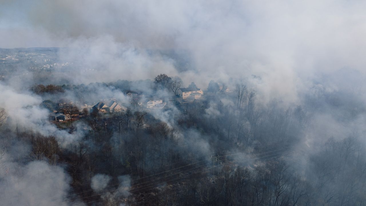
Wildfire smoke has again become a national air quality problem in the United States as large fires in Canada and parts of the West send fine-particle pollution across multiple regions. By Thursday, July 16, the most concentrated impacts had spread from the Upper Midwest toward the Northeast, with alerts and health advisories covering a population measured in the hundreds of millions. Federal air-quality trackers, National Weather Service alerts and Associated Press reporting all showed a broad smoke event affecting daily life well beyond the fire zones.
Air quality alerts stretched across multiple states
More than 100 million Americans were under air quality alerts as wildfire smoke spread across the country this week, according to Associated Press reporting published July 16 and AirNow’s national alert and mapping tools. AirNow said wildfire smoke was affecting air quality in multiple states, while its Fire and Smoke Map showed widespread particle pollution tied to smoke conditions. The official date tied to the broad alert expansion was July 16, when state and federal advisories intensified across the Midwest and East.
The most severe conditions were reported in parts of the Upper Midwest. In Michigan, the National Weather Service posted an Air Quality Alert issued by the state for July 16 and July 17, warning of elevated fine particulate pollution and noting hazardous levels statewide in some updates. In Minnesota, a National Weather Service posting for Minneapolis said the Minnesota Pollution Control Agency expected the Air Quality Index to reach the purple, or very unhealthy, category in parts of the state through the morning of July 17.
Associated Press reported that smoke darkened skies from the Great Lakes to parts of the East Coast and reduced visibility while prompting warnings that outdoor air could be dangerous to breathe. AirNow’s national maps also showed elevated readings extending well beyond the Midwest. Federal guidance states that wildfire smoke is driven largely by PM2.5, the fine-particle pollutant most closely tracked during smoke events.
The clearest state-level impacts were confirmed in Michigan and Minnesota, where formal alerts described both health risks and visibility problems. In western and central Michigan, the National Weather Service office in Grand Rapids said widespread smoke persisted during the morning commute on July 17, with scattered visibility below one mile and at times under one-half mile. The alert covered cities including Grand Rapids, Muskegon, Lansing, Kalamazoo and Battle Creek.
In Minnesota, the National Weather Service summary for Minneapolis said the state pollution agency expected very unhealthy air from fine particles, with smoke also affecting western Wisconsin. Those alerts showed how the smoke plume was not limited to one metro area but spread across a multi-state corridor. Associated Press also reported unhealthy conditions from the Midwest into the Northeast as the plume expanded eastward.
What remains less clear is the full location-by-location total of affected communities nationwide at any single hour. AirNow provides live maps and changing alert areas, but it does not publish a single static list covering every impacted city in one national bulletin. That means the broad scale is verified, while the complete local breakdown shifts as smoke density and monitoring data change.
The immediate cause of the event was wildfire smoke moving south from Canada, according to Associated Press, NOAA satellite smoke analysis and federal air-quality agencies. NOAA’s satellite smoke narrative earlier this month described smoke from active fires across central and western Canada blanketing broad portions of central and eastern North America, including the central and eastern contiguous United States. AP separately reported that more than 100 wildfires were burning in Canada as the smoke episode intensified.
EPA and AirNow state that wildfire smoke is primarily made up of fine particles that can travel long distances and affect ground-level air quality far from the fire source. EPA’s 2026 wildfire smoke guidance for public health officials says PM2.5 is the key pollutant during these events and identifies children, older adults, pregnant people, and those with heart or lung disease as among the groups at greater risk from exposure.
For residents, the practical effect is that smoke impacts can continue even where no fire is burning nearby. AirNow and EPA said conditions can vary by hour and by neighborhood, and official forecasts remain the main tool for tracking whether air is improving or worsening. As of this week, federal agencies continued directing the public to live smoke and air-quality maps as the smoke plume moved across the country.