")
Flooding does not require a hurricane to become dangerous. Along the Texas coast and wider Gulf Coast, the biggest threat from this incoming tropical system may be the water it delivers, not the name it earns.
Why is this system commanding attention

Forecasters are focused on a broad area of low pressure and tropical moisture in the western Gulf because it has the ingredients to produce prolonged, high-impact rainfall over land. The National Weather Service office in Corpus Christi said June 13 that the National Hurricane Center had highlighted an area over the western Gulf with a 20% chance of development over the next 7 days, while also warning that rain chances would increase across the Texas coast through next week. That combination matters because even weak or poorly organized systems can still unload dangerous amounts of rain.
The atmosphere over the Gulf is exceptionally favorable for heavy downpours when moisture pools near the coast and steering winds remain weak. Fox Weather reported in early June that similar Gulf systems were expected to bring tropical downpours, rough surf, and strong winds even without becoming a tropical depression or storm. That is a familiar Gulf Coast pattern: the storm’s structure may stay messy, but the rainfall footprint can still expand across multiple states.
The concern is not limited to one city or one forecast zone. Weather offices from South Texas to southwest Louisiana have been highlighting a multi-day setup in which repeated rounds of showers and thunderstorms track over the same areas. That raises the risk of rapid street flooding first, followed by bayou, creek, and river responses if heavier totals persist.
Texas faces the sharpest early concern
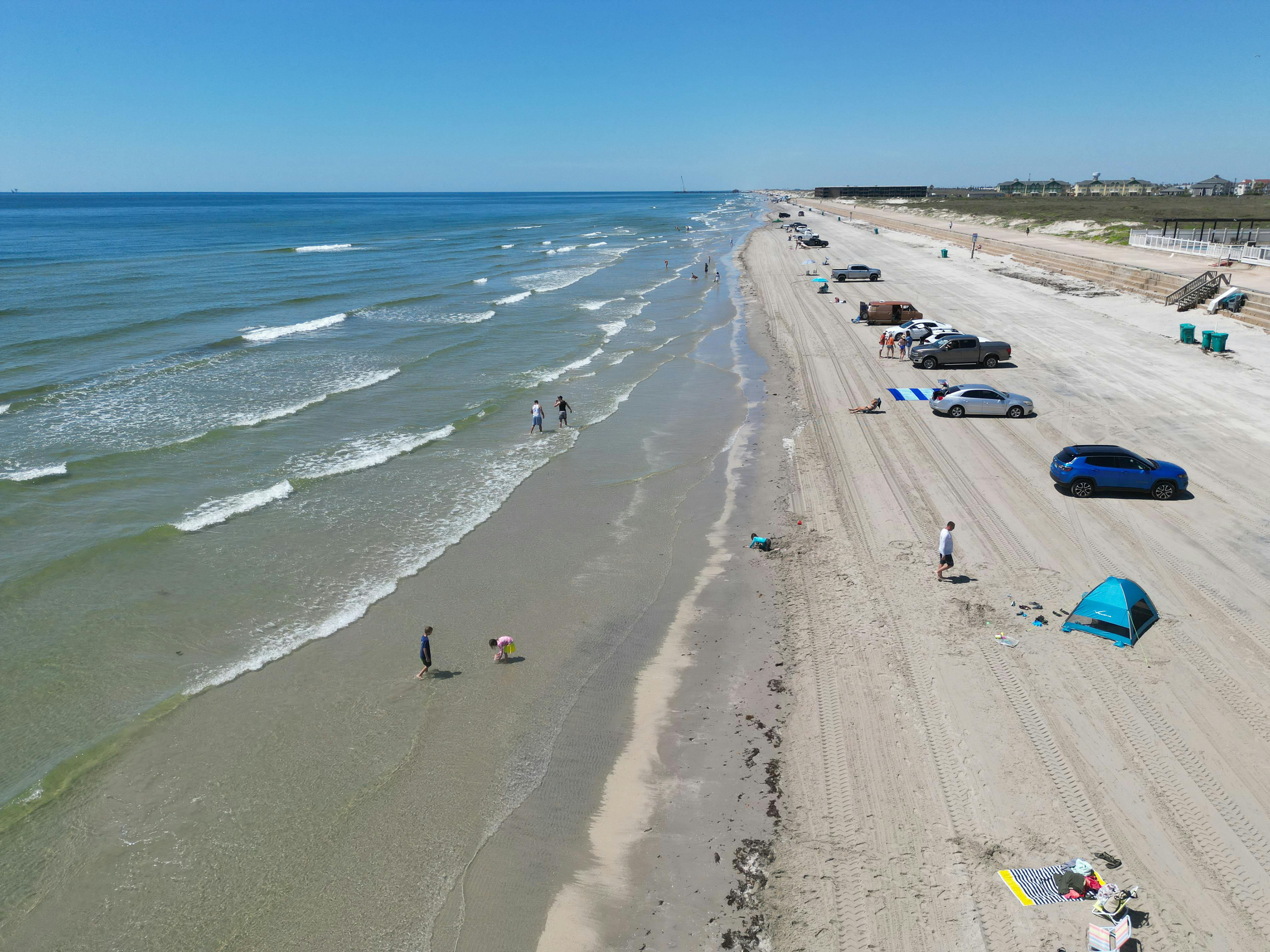
South Texas and the middle Texas coast are especially vulnerable when tropical moisture streams ashore and stalls near the coastline. In Corpus Christi, the National Weather Service warned that while tropical development odds remained low, the Texas coast should expect increasing rain chances and coastal impacts, including water reaching dunes and inundating beach roads around high tide. That is an early sign that the system’s effects extend beyond rainfall into shoreline hazards and transportation disruptions.
Farther north, southeast Texas has also seen forecasts emphasizing localized flooding from intense rain rates. The Houston/Galveston office said rainfall rates could peak around 3-4 inches per hour in stronger bands, enough to produce a quick 1-3+ inches of rain in a short period of time and trigger localized minor or street flooding. In the Gulf Coast flood context, the hourly rain rate is often more important than storm category because urban pavement overwhelms drainage systems quickly.
That risk is amplified when soils are already wet or when repeated cells move over the same corridor. Parts of Texas have already dealt with recent high-water events and water rescues this month, according to Fox Weather coverage of broader tropical moisture surges across the southern United States. In practical terms, that means some communities could flood faster with the next round.
Louisiana and the central Gulf Coast are also in play

This is not a Texas-only story. Southwest Louisiana is in a classic setup for excessive rainfall when deep tropical moisture meets a nearby boundary and daily storm redevelopment. The National Weather Service in Lake Charles warned June 13 that a surge of tropical moisture combining with an approaching front would create a focus for heavy showers and storms from Sunday into early Wednesday, with several rounds of widespread tropical rain expected.
That office projected rainfall totals of 3-5 inches, with higher amounts in some spots, and said a flash flood risk would exist through early Wednesday. It also warned that coastal flooding could become possible around high tide from Sunday through Wednesday mornings due to a low moving near the coastline. Those details show how Gulf Coast flood threats often come in layers: flash flooding inland, nuisance-to-moderate coastal flooding near the shore, and dangerous surf conditions at beaches.
Earlier Gulf Coast forecasts from Fox Weather likewise highlighted 1 to 2 feet of total water rise in some coastal locations east of Texas and warned of rough surf and rip currents. Even if the most severe coastal flooding remains localized, those impacts can still close low-lying roads, flood parking areas, and endanger beachgoers who underestimate surf conditions.
The biggest danger may be rainfall, not wind

The public often measures tropical threats by wind speed, but flood disasters along the Gulf Coast frequently come from slow-moving or disorganized systems. The National Hurricane Center’s historical reports on storms such as Allison and Bill underscore how tropical systems affecting Texas can produce destructive freshwater flooding well inland. That history is why emergency managers watch rainfall forecasts so closely, especially in June when early-season systems can tap very warm Gulf moisture.
Meteorologists are especially wary of training bands, where storms repeatedly move over the same place. In those setups, a forecast of 3-5 inches can quickly turn into isolated totals far above that range. National Weather Service messaging in southeast Texas and southwest Louisiana has repeatedly stressed localized heavier pockets, and those pockets are often where rescues, road closures, and flooded homes occur first.
Urban corridors are particularly exposed because concrete limits absorption and channels runoff into already stressed drains and bayous. Rural areas face a different problem: water may rise more slowly, but it can cover farm roads, isolate neighborhoods, and push creeks and rivers out of their banks after the heaviest rain has ended.
What should residents expect over the next several days?

The most likely scenario is a broad stretch of unsettled weather rather than a clean, quickly moving storm. That means repeated bursts of heavy rain, periods of gusty coastal wind, rough surf, dangerous rip currents, and water piling up along vulnerable shorelines near high tide. Forecast offices along the coast have consistently emphasized that development chances alone do not capture the full danger.
Residents should expect conditions to vary sharply over short distances. One neighborhood may see manageable showers while another a few miles away gets a stationary band that drops several inches in an hour. That is why flood messaging often sounds urgent even when tropical development odds appear modest. The atmosphere does not need a well-defined storm center to produce a serious local emergency.
Travel disruptions are also likely to become one of the first visible effects. Flooded feeder roads, submerged underpasses, beach road overwash, and reduced visibility in heavy rain can make routine trips hazardous well before any formal storm designation occurs. For many households, the practical threat starts when roads become unreliable.
Why preparation now matters more than labels

The lesson from Gulf Coast weather is straightforward: waiting for a storm to strengthen before acting can be a costly mistake. By the time watches and warnings expand, the most dangerous rainfall bands may already be forming offshore or moving inland. Official forecasts from Corpus Christi, Houston/Galveston, and Lake Charles all point to some version of the same message: tropical moisture alone is enough to create flooding problems.
For residents, preparation should center on flood risk first. That means checking whether your route to work crosses flood-prone roads, moving vehicles from low spots, charging devices, reviewing local alerts, and avoiding any plan that depends on driving through water. Along the coast, it also means staying off jetties and out of dangerous surf as tides rise and rip currents strengthen.
This system may or may not earn a stronger tropical classification. But across Texas and the Gulf Coast, the forecast already makes one thing clear: the flood threat is real, potentially widespread, and capable of turning a messy tropical disturbance into a serious regional weather event.